
01
Appraise property
- Property valuations
- Information for a sale or purchase
- Local market information
Service
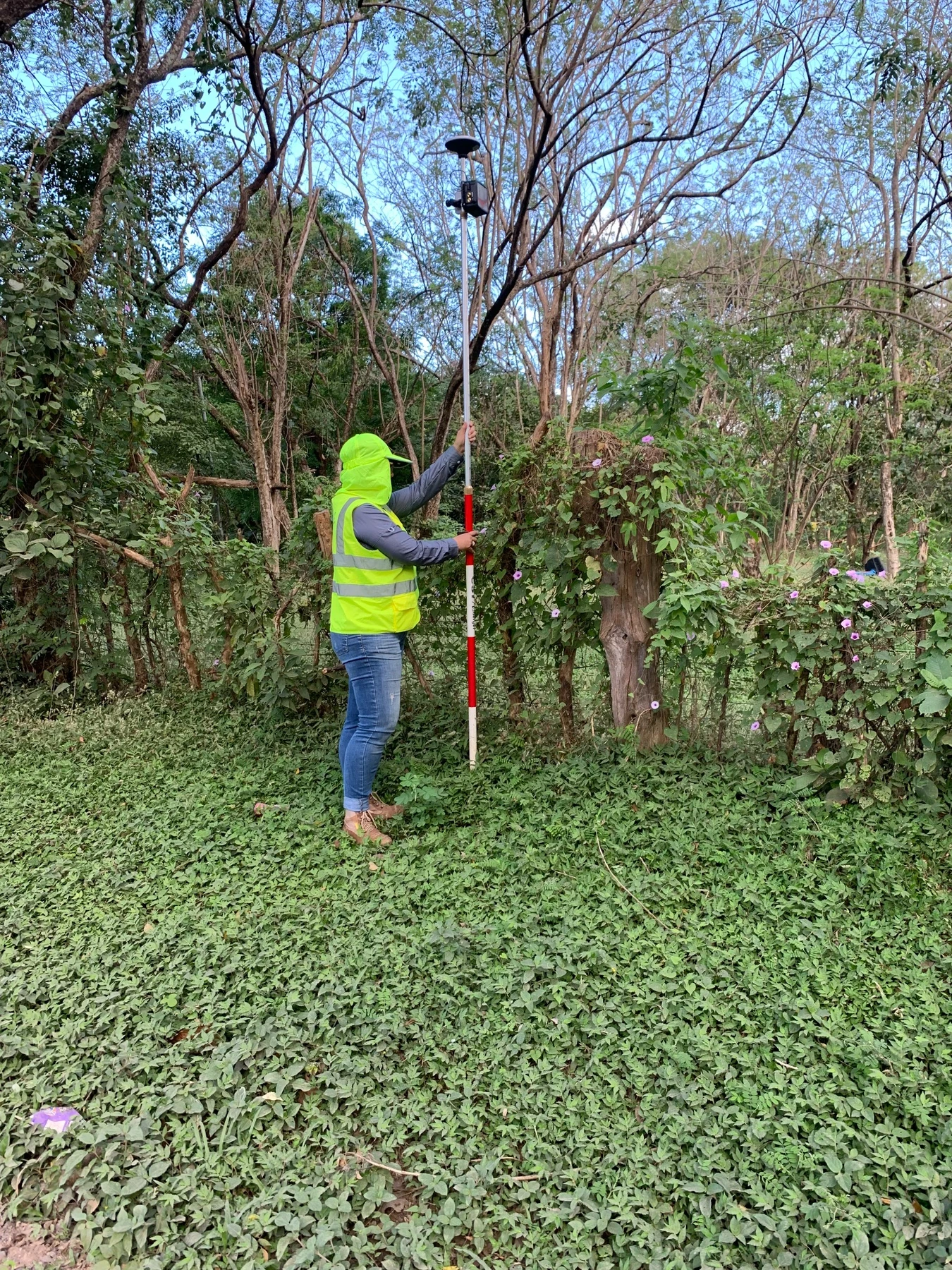
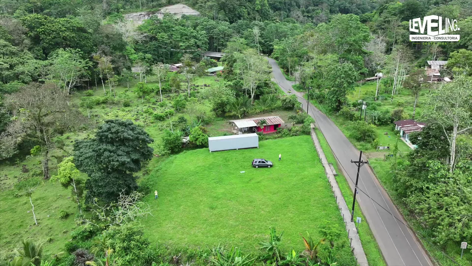
We appraise properties and assess access, infrastructure and development options. Our analyses and reports help compare costs, site conditions and project alternatives.
Message us on WhatsApp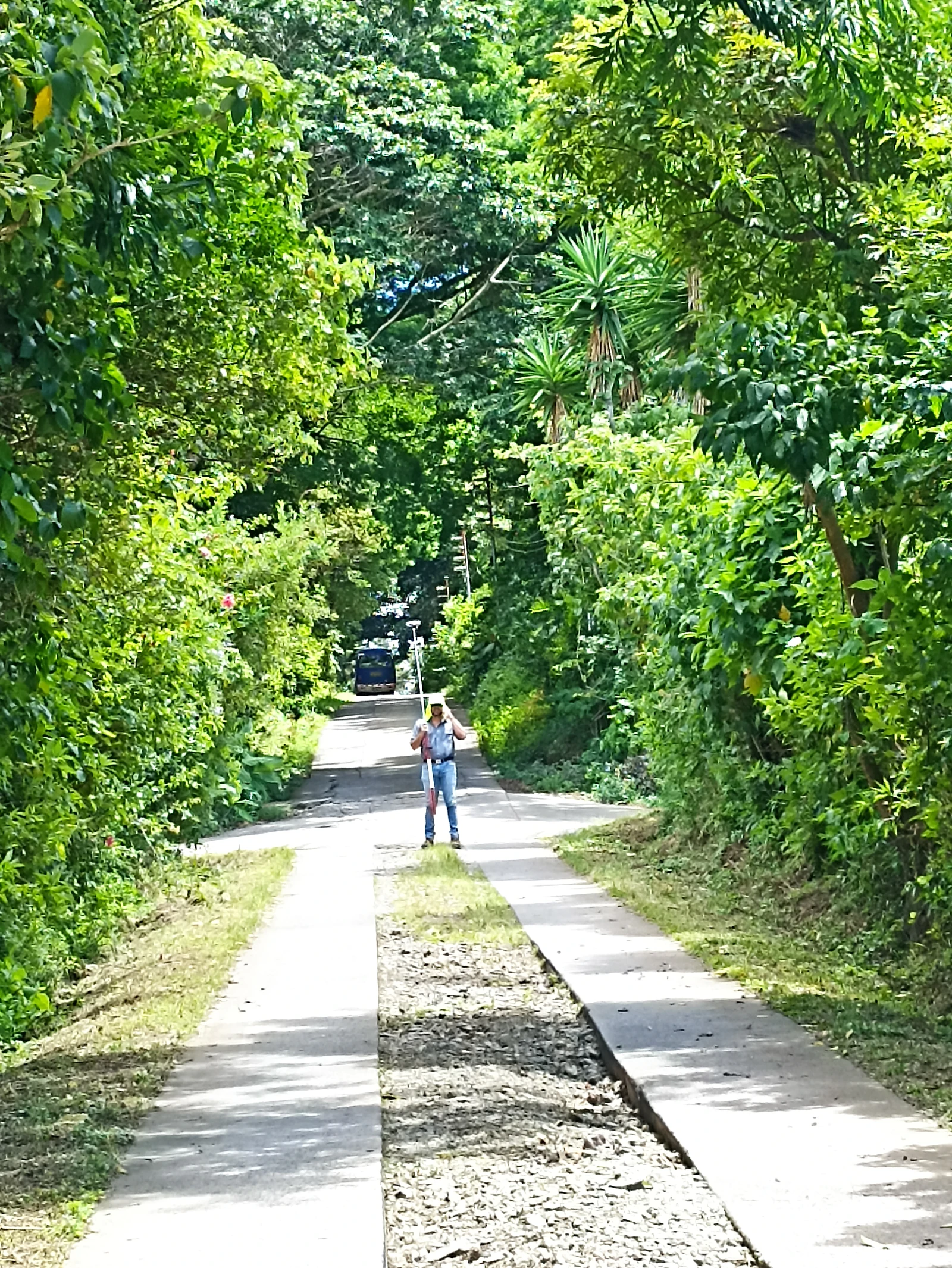
Service information
Leveling Costa Rica
Process
We clarify the decision you need to make and the scope.
We gather information about the property and its context.
We compare conditions, costs and possible alternatives.
We present clear findings to guide the next decision.
Reports for comparison
Your report brings together data, maps, photographs and conclusions from the agreed assessment. Estimates of value, costs or income explain the information and assumptions used.
ENQUIRIES
It provides a technical estimate of a property's value for buying, selling, negotiating, supporting a decision or meeting a specific requirement.
Yes. We can complete a preliminary review of the site, access, services, regulations and possible layout to identify opportunities and conditions that need further study.
Yes, when included in the scope. We prepare preliminary projections from the available data and state the assumptions clearly; they are not a guarantee of profitability.
Yes. We define the survey and analysis around the decision the client needs to make, from access and routes to the wider conditions of a site or project.
Send the location and a brief description of what you need.
Guanacaste · Lake Arenal · San Carlos · Monteverde Service areas