01
Survey the land
- Dimensions and boundaries
- Slopes and levels
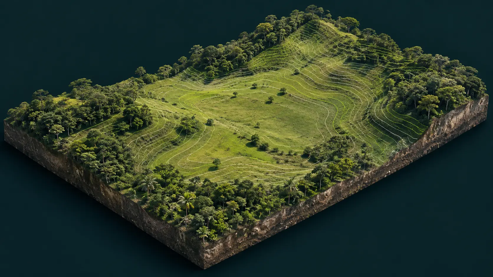
- Contour maps
Service
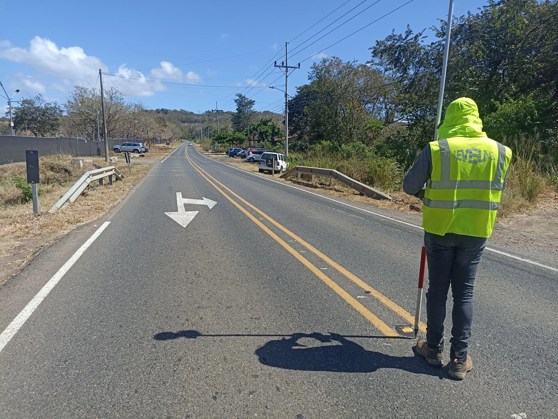
We measure land dimensions, boundaries and levels. We prepare information for design, construction, plans and earthwork calculations.
Message us on WhatsApp
Service information
Leveling Costa Rica
Process
We confirm the goal, location and available information.
We capture the required points and levels on site.
We organize the information and complete the calculations.
We explain the results and provide the relevant files.
What you receive
Depending on the service, you receive plans, surveyed points, contour maps, terrain models or volume calculations. We select a total station, survey-grade GPS (GNSS), a drone or a combination to collect the required data.
ENQUIRIES
Share the location, the purpose of the survey and, if available, the cadastral plan or property number. We then define the fieldwork and deliverables.
A survey records what exists on the land. Setting out transfers points already defined in a plan to the site, such as axes, corners or construction levels.
Yes. Depending on the scope, we can produce contour lines and calculate cuts, fills or volumes for design, earthworks and construction control.
No. We select equipment according to the site, vegetation and required data. We may use a total station, survey-grade GPS (GNSS), a drone or a combination.
Send the location and a brief description of what you need.
Guanacaste · Lake Arenal · San Carlos · Monteverde Service areas